Moran State Park
Orcas Island, Washington
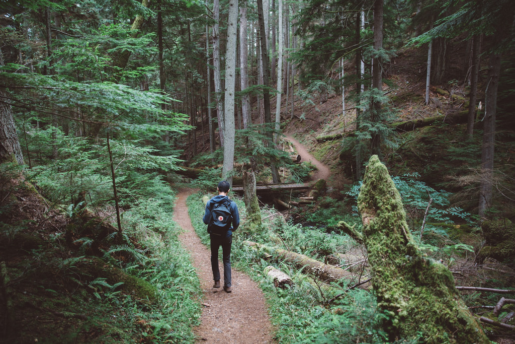
 Our phones didn’t work in the park, forcing us to use an actual map to navigate our trail. That ended up being one my favorite parts. It felt good to use our brains to figure out where we were going and where we had been. We had to base our trails on actual landmarks and I found myself paying closer attention to everything around me. Oddly we argued less as we figured out the paths together and I couldn’t stop thinking about an excerpt from this New York Times Magazine Article I had read a few months back…
“Recent studies have shown that people who use GPS, when given a pen and paper, draw less-precise maps of the areas they travel through and remember fewer details about the landmarks they pass; paradoxically, this seems to be because they make fewer mistakes getting to where they’re going. Being lost– assuming, of course, that you are eventually found — has one obvious benefit: the chance to learn about the wider world and reframe your perspective. From that standpoint, the greatest threat posed by GPS might be that we never do not know exactly where we are.”
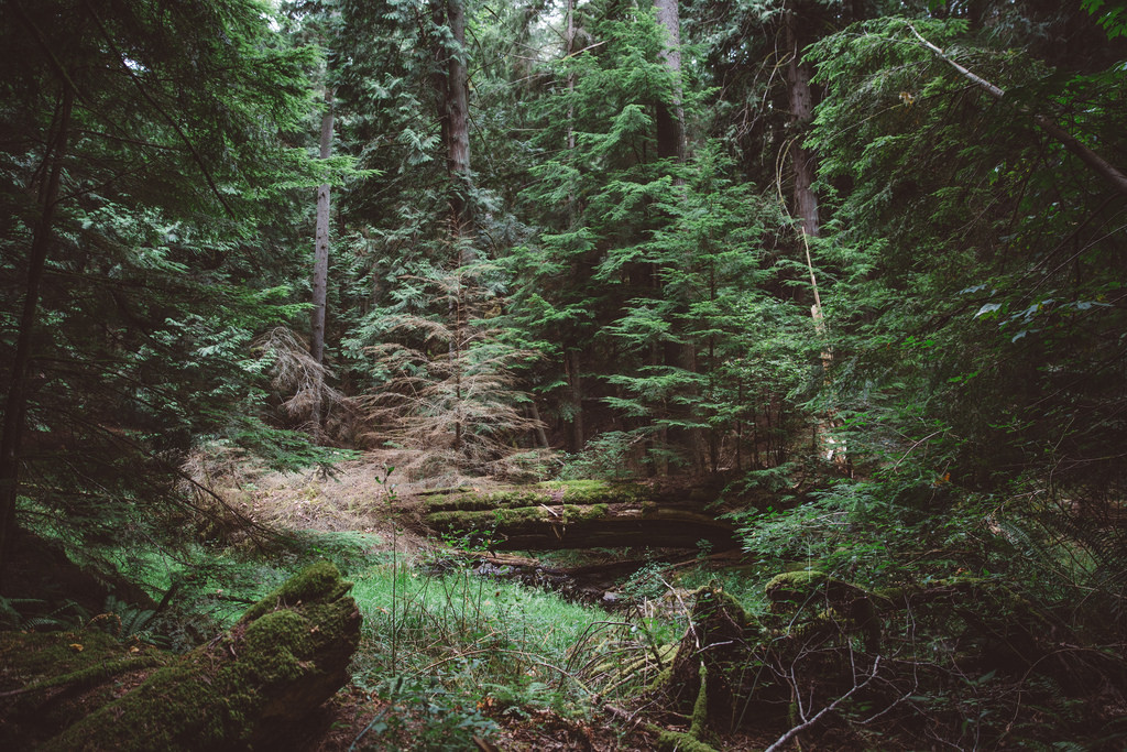
We tried this no GPS tactic, when we had ample time to risk getting lost, for the rest of our trip. It really did change my perspective, forcing me to pay attention to what was out my window instead of tracking a moving dot on a blue line. I think this will be one of the things I will hold on to most from this trip. There are so many huge advantages to having GPS so readily available and I am grateful for the technology. But I do hope that we remember, post vacation, to put down the phones from time to time and work together to navigate our world.